
Spring Opener @ Rumsey Forest
April 28th 2024 10:00am - 2:00pm
Organizers: Don Bayly (Controller), Rob Brown (Course Planner)
Map: Rumsey
Site visit Update: According to Don B, Rumsey "was very dry. Not a trace of snow. In two weeks it should look a little greener."
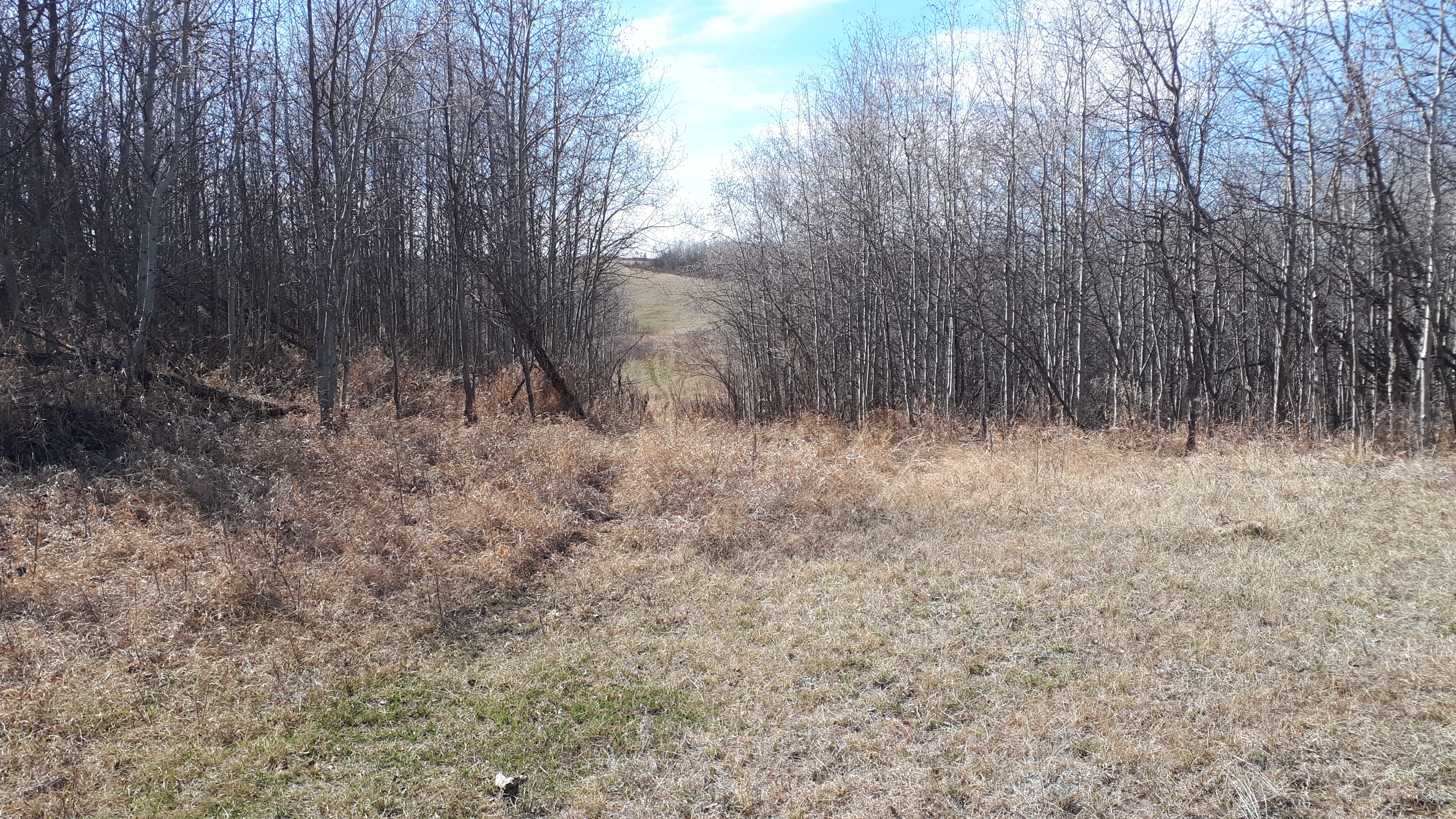
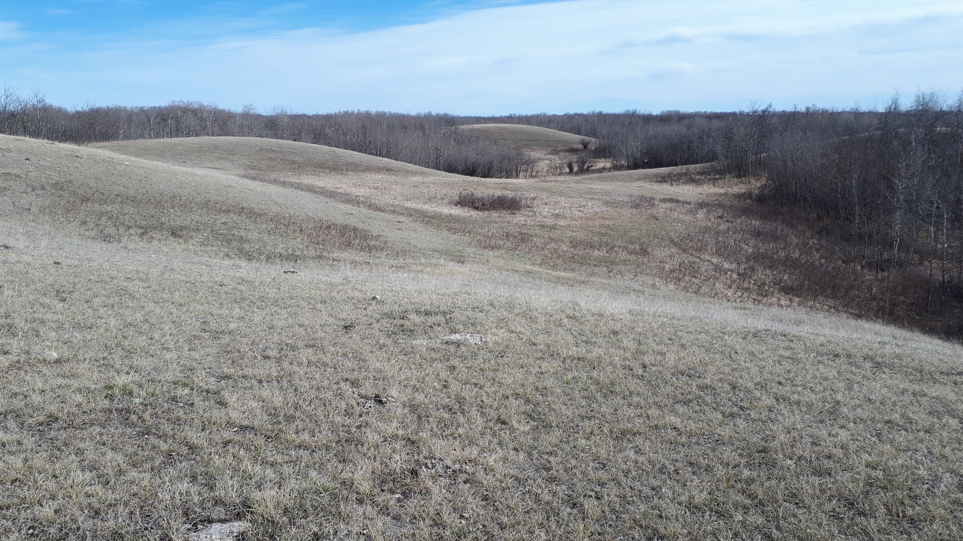
Join us for the first event of the regular season on the grasslands and rolling hills of Rumsey! More details to follow.
Event Details
- Start: Start any time between 10am and 12 noon.
- Course closing: 2pm
- Maximum time on course: 2 hours (whether or not you complete your course) Organizers will start collecting controls at 2pm.
- SI timing: will be used for all courses. SI fingersticks (including a limited number of SI-Air fingersticks) will be available to borrow at check-in.
- Distance from Parking to Start: 125 m
- Check-in: located adjacent to Start
- Whistles: are mandatory
- What to bring: water, snacks (no refreshments will be provided), your own water bottle (no water will be provided on any courses), SI stick (or borrow at event), whistle, compass
- Legend: there is no legend on the map. A legend will be posted near the check-in/start area.
- Map scale: 1:10,000
- Contour interval 5 m
Course Details
- Novice: 1.9 km. 10 controls. Not suitable for complete beginners. You should be able to orient yourself and the map to North. We suggest children be shadowed unless they are quite experienced.
- Intermediate: 4.1 km. 14 controls. You need some understanding of contours.
- Short Advanced: 7.5 km. 14 controls. A shorter version of the Long Advanced course.
- Long Advanced: 9.5 km. 19 controls. The most technically difficult course.
Driving directions:
Please consider carpooling as parking is limited and to limit vehicle traffic on the cattle farm.
From Calgary (2 hours one way): North on Hwy 2, east on Hwy 27, north on Hwy 21 to Trochu, east on Hwy 585 through Trochu and Tolman Bridge, north on Hwy 56 for 10.8 km. Turn right (east) on Township Rd 34-4 (Orienteering sign at this intersection). Drive 3 km on this gravel road to the white farmhouse. Turn right here, follow orienteering signs & flags along a dirt track for about 1 km, to the parking area on the orienteering map. Avoid the cattle; note that calves can unpredictably jump in front of a moving car!
From Edmonton (2 hours 45 min one way): South on Hwy 2, east on Hwy 42, south on Hwy 21 to Trochu, east on Hwy 585 through Trochu and Tolman Bridge, north on Hwy 56 for 11 km. Turn right (east) on Township Rd 344 (Orienteering sign at this intersection). Drive 3 km on this gravel road to the white farmhouse. Turn right here, follow orienteering signs & flags along a dirt track for about 1 km, to the parking area on the orienteering map. Avoid the cattle; note that calves can unpredictably jump in front of a moving car!