
RESULTS and ROUTE REPLAYS! - Spring Opener @ Rumsey Forest Event
May 1st 2022 10:00am - 2:00pm
Organizers: Kitty Jones (Course Planner), David Campden (Course Planner)
Map: Rumsey
Thanks for attending! Special thanks to Kitty and David C for some terrific courses. Thanks too to the many volunteers!
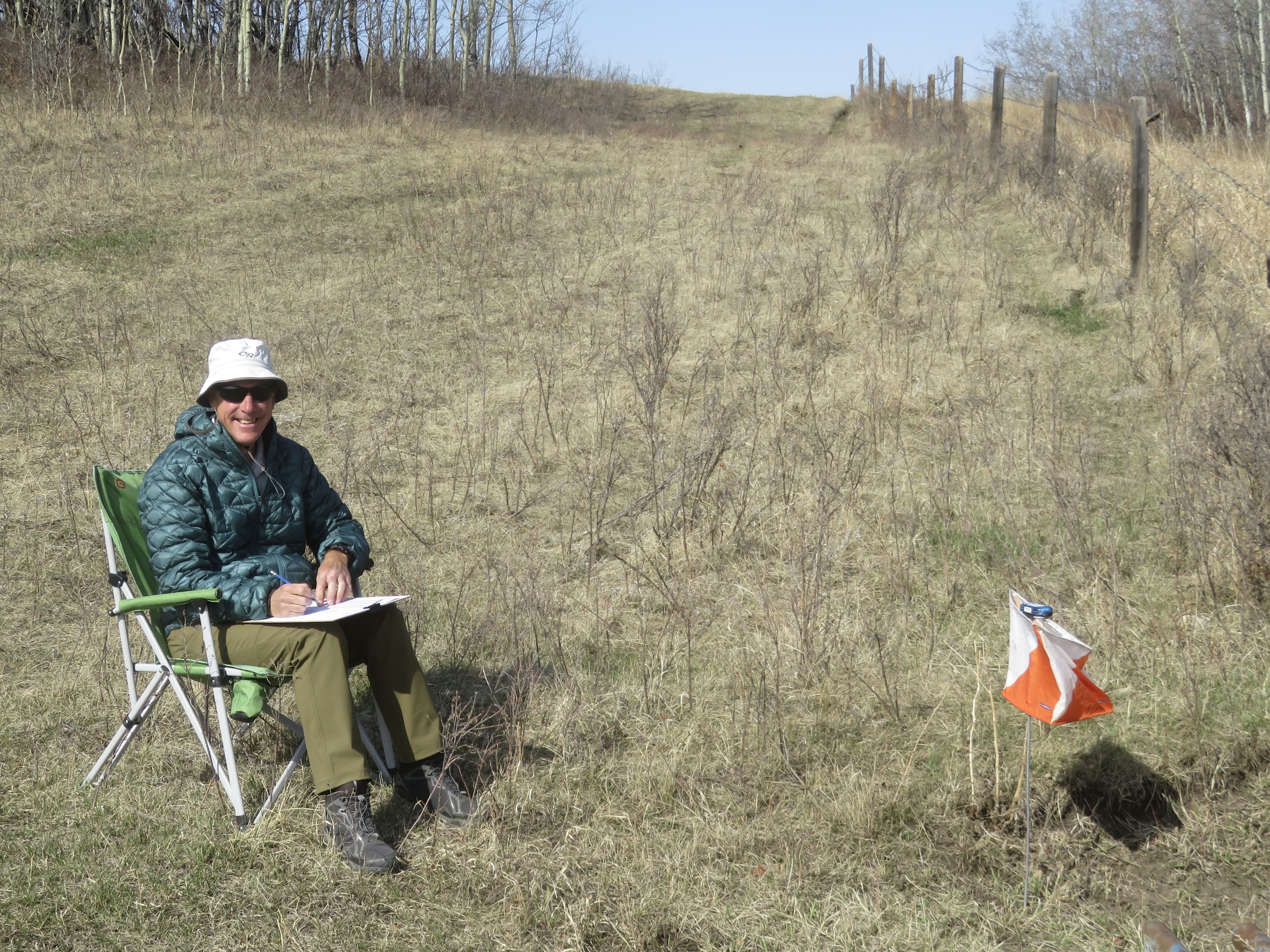
Results and Route Replays / Analysis are posted!
If you recorded your run on GPS, please upload your GPX track to Livelox (or import it from Strava) so that everyone can compare routes on Livelox. Even if you didn't win the race, you might be surprised at how well you did on some of the individual legs!
Courses (see Course Planner’s Notes below for more details):
- Novice: 2.7 km. 16 controls. An easy intermediate course, not for complete beginners.
- Intermediate: 4.3 km. 17 controls. You need some understanding of contours.
- Short Advanced: 5.6 km. 14 controls. A shorter version of the Long Advanced course.
- Long Advanced: 7.9 km. 20 controls. The most technically difficult course.
Event Details
- Start: Start any time between 10am and 12 noon.
- Course closing: 2pm
- Maximum time on course: 2 hours (whether or not you complete your course) Organizers will start collecting controls at 2pm.
- SI timing: will be used for all courses. SI fingersticks (including a limited number of SI-Air fingersticks) will be available to borrow at check-in.
- Distance from Parking to Start: 850 m along a dirt track
- Check-in: located adjacent to Start
- Whistles: are mandatory
- What to bring: water, snacks (no refreshments will be provided), your own water bottle (no water will be provided on any courses), SI stick (or borrow at event), whistle, compass
- Legend: there is no legend on the map. A legend will be posted near the check-in/start area.
- Map scale: 1:7,500 for Novice course; 1:10,000 for all other courses.
- Contour interval 5 m
- registration closes midnight April 27, 2022
Driving directions:
From Calgary (2 hours one way): North on Hwy 2, east on Hwy 27, north on Hwy 21 to Trochu, east on Hwy 585 through Trochu and Tolman Bridge, north on Hwy 56 for 10.8 km. Turn right (east) on Township Rd 34-4 (Orienteering sign at this intersection). Drive 3 km on this gravel road to the white farmhouse. Turn right here, follow orienteering signs & flags along a dirt track for about 1 km, to the parking area on the orienteering map. Avoid the cattle; note that calves can unpredictably jump in front of a moving car!
From Edmonton (2 hours 45 min one way): South on Hwy 2, east on Hwy 42, south on Hwy 21 to Trochu, east on Hwy 585 through Trochu and Tolman Bridge, north on Hwy 56 for 11 km. Turn right (east) on Township Rd 344 (Orienteering sign at this intersection). Drive 3 km on this gravel road to the white farmhouse. Turn right here, follow orienteering signs & flags along a dirt track for about 1 km, to the parking area on the orienteering map. Avoid the cattle; note that calves can unpredictably jump in front of a moving car!
Course Planners’ Notes:
This event is held in the Rumsey Natural Area, a unique terrain with lots of little hills, marshes and varied patches of vegetation. Navigation is considerably more complex than city parks, so you need to concentrate on map reading, to prevent getting lost. There are fences on the east, north and west edges of the area, but not on the south edge. There’s one additional fence through the middle of the event area; do not climb over it – roll under it. There are numerous cattle trails, both distinct and indistinct, which have evolved over time. Some are mapped and some are not. Therefore, you must concentrate on the other types of features while navigating. You can trust the contours and most of the vegetation. The only water features are marshes, which could be wet or dry depending on the weather before the event.
While checking control sites, the course planners sighted deer and moose, and observed coyote tracks. Cattle have grazed in the area (lots of cow patties – don’t drop your compass!!) but we’ll tell you at the check-in whether or not cattle are in the event area at the time of the event.
The Novice course mostly follows natural linear features such as a vegetation boundary or a line of hills. There are 3 sections on this course where pin flags will mark the route. Several controls are on the top of a hill, and could be visible from the previous control. It is unusual for this course level to have no man-made linear features to follow. If you want basic instructions about contour interpretation, please ask at check-in and someone will give you a brief contour “lesson” before you start your course.
All other courses have a variety of control features, and lots of changes of direction from one leg to the next. The distance between north lines on the map is 250m.
Access to our event is through an active cattle farm. Please respect the farm and the Natural Area – do not climb over fences (roll under them) and take all your garbage home with you. The club’s home-made outhouse will be just west of the parking area.
If you have not orienteered in a non-urban area recently (which might be more than 2 years?!), be sure to review the legend and the international control descriptions (posted at the check-in near the start) before you start your course. Start your course slowly, and increase your speed as you become familiar with the character of the map and the terrain. Enjoy the unique scenery!