
TNT #6 Toques & Training series
February 12th 2020 6:00pm - 8:00pm
Organizer: Teresa (Event Director)
Map: Bowness Park + Baker Park
We will meet at the west end of the parking in Bowness Park, near the playground.
What to bring - headlamp, suitable shoes and clothing for the weather (cleats might help if it is icy). Toonie.
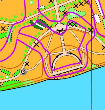
The course will be a corridor through Bowness and Baker Parks. A ribbon of map will be printed - try to remain within the corridor.
Map Snippet:
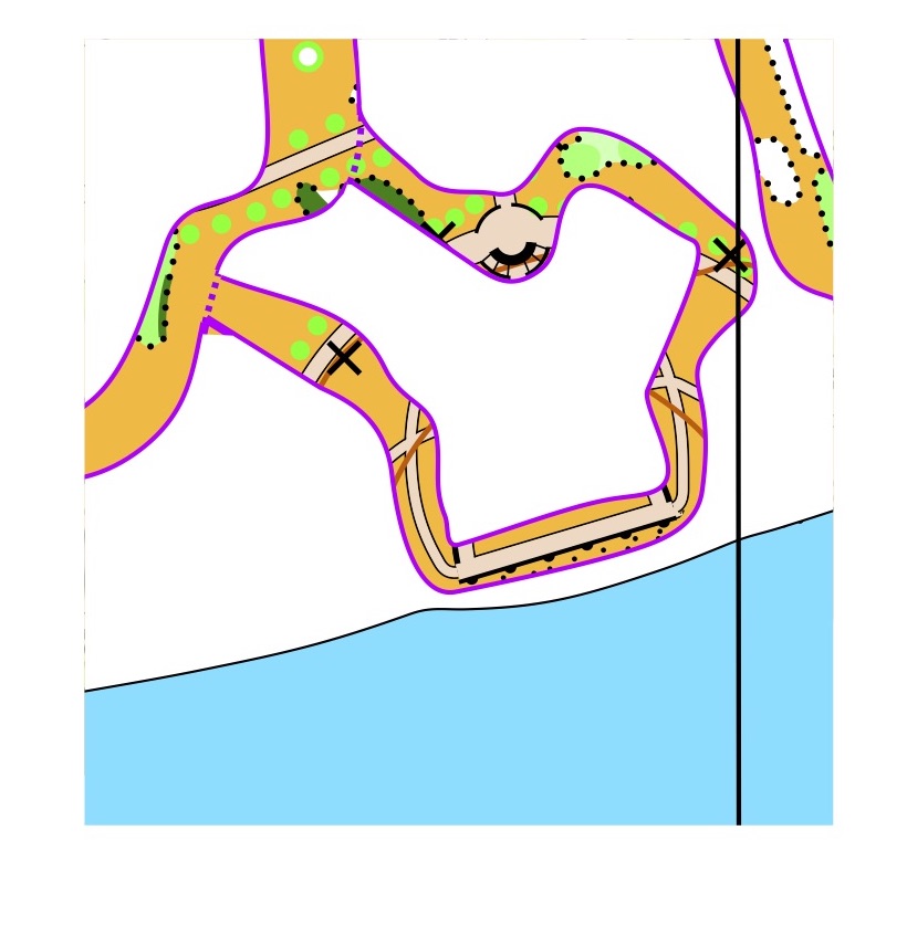
For the less experienced orienteers a regular map will be available as a back-up in case you lose track of where you are.
Post Training Social - we will arrange to meet up somewhere after the training - location to be decided.