
Results - Sandy McNabb B Meet
August 29th 2021 11:30am - 4:00pm
Organizers: Marsha Fehr (Course Planner), Teresa (Event Director)
Map: Sandy McNabb
Forest Event #2 on the Sandy McNabb map west of Turner Valley!
Thank you to all the volunteers: Philippa & Kurt (who ran the start), Lucas, Darryl, Dawn, Don B, and Ewan (who picked up controls), Don B & Teresa (who got up early to be there to set out controls!), Ewan and Teresa (on the finish). Teresa was an amazing Event Director! Volunteers like that help make this fun event happen. Participants reported really enjoying getting out on the map even though their orienteering skills were a little rusty and even if they went off course!
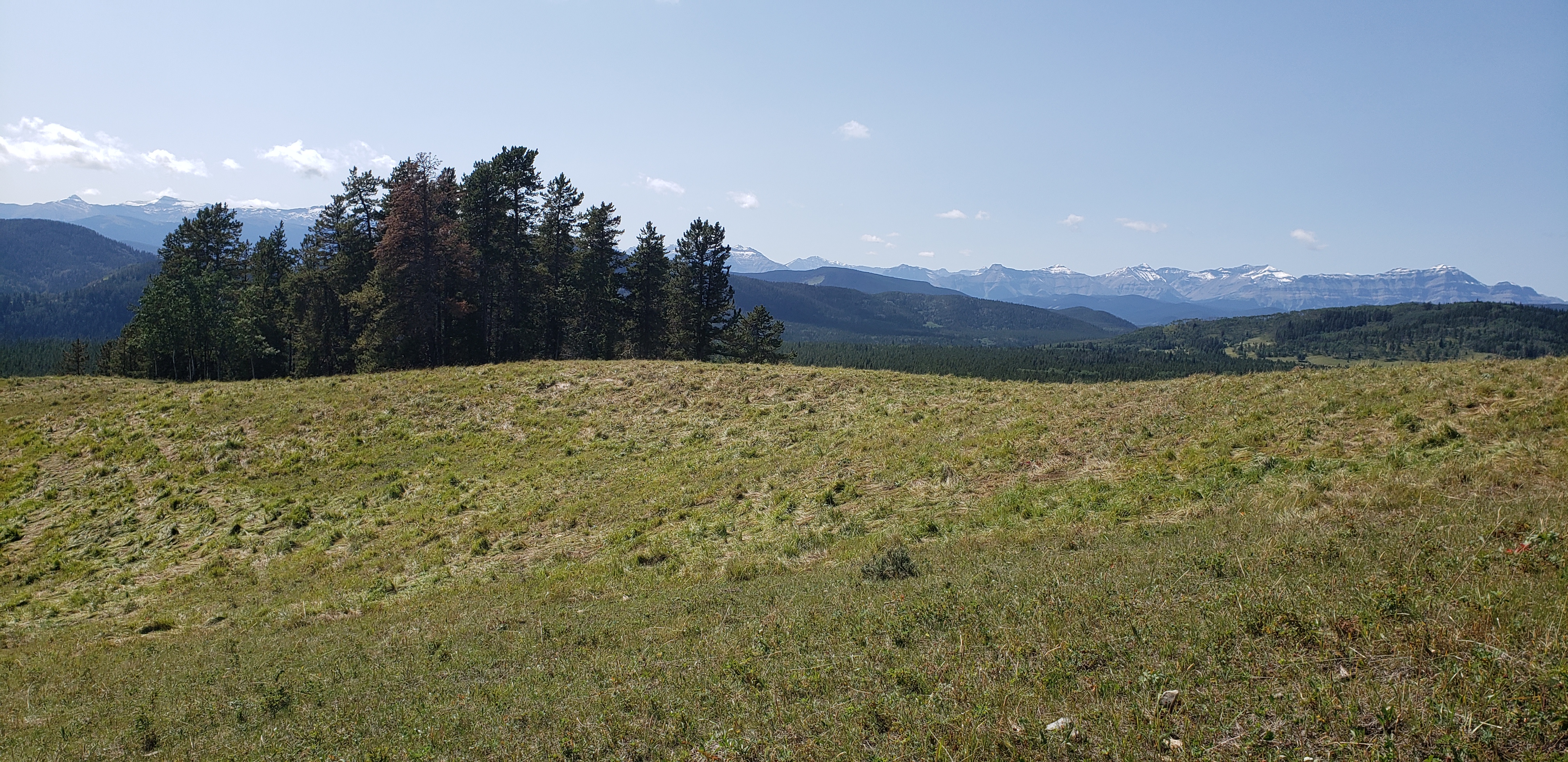
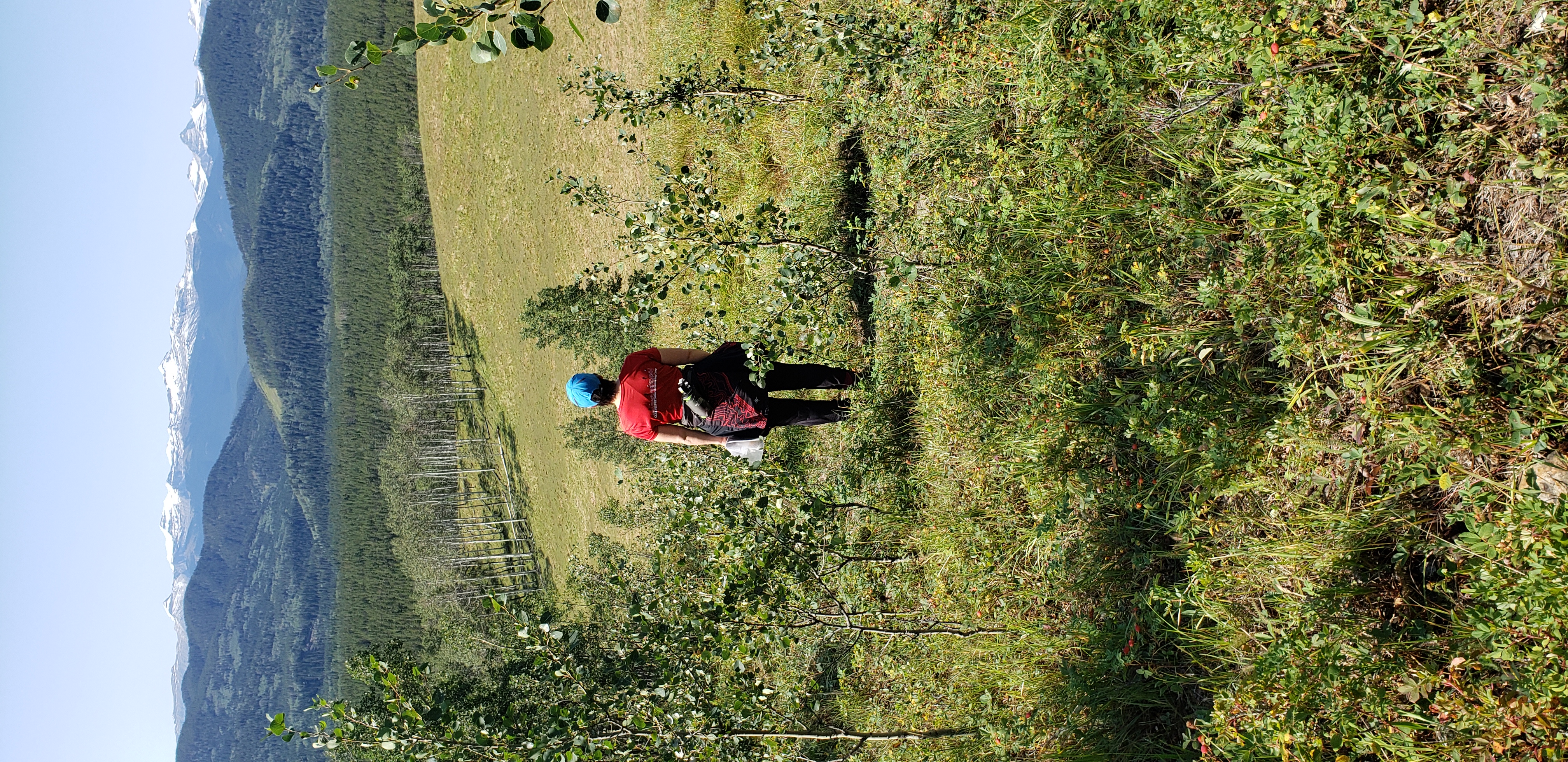
Sandy McNabb is a lovely map which includes runnable forests, open fields, and a great path system. It is a horse-friendly park so you may run into some riders, please give them space. The map is on a cattle-ranch leasehold so there may be also cattle on the map. Despite the horses and cows, this is a fun map with lots of nice features and gorgeous views. Come out and experience orienteering at its best!
Final Details in this document
Sandy McNabb B Meet Information.docx.pdf
Courses:
Detailed courses notes will be sent to registrants on Friday, September 27th. 5 courses will be available:
- Beginner (TD2) - Most of the course follows trails but one section will cross an open area with no trails. Controls may be slightly off trails. Scale: 1:7500. 2.6 km. 115 m climb.
- Short Intermediate (TD3): Controls are off trail but near handrails (fences, trails, vegetation boundaries). Scale: 1:10000. 3.4 km. 105 m climb.
- Long Intermediate (TD3): Controls are off trail but near handrails (fences, trails, vegetation boundaries). Scale: 1:10000. 4.4km. 110 m climb.
- Advanced (TD3 adv): Controls are off trail. Navigating off handrails is required. Compass bearing is required. Scale: 1:10000. 4.8 km. 105 m climb.
- Expert (TD5): Detailed map reading is required. More precise navigation is required. Scale: 1:10000. 6.6 km. 175 m climb.
The event is open to all members of FWOC or any other Canadian orienteering club. Elite athletes who would like to participate if there were a longer course should contact the organizer.
For novice orienteers (those new to forest orienteering), the organizer is happy to host a zoom call to talk about forest orienteering and walk you through a map (with no controls on it) of the area. Contact the organizer at [email protected].
Pricing: $15 / adult; $30 / family
Registration:
Registration will be through our Membership Registration Form. A minimum of 15 participants will be necessary for the event to go ahead. Register before August 26 at midnight. NO on-site registration.
Parking:
Park at the Sheep River Park Headquarters.
Timing:
Start window: 11:30 - 1 pm. You must start by 1 pm.
Course closes: 4pm. You must check in (be back at the finish arena) at 4pm.
Maximum time: 3 hours
Volunteers:
If you can help out please let Marsha know. We would espcially appreciate help at the finish table and picking up controls.