
RESULTS and ROUTEGADGET/LIVELOX! University of Calgary - #1 + Try-It! Wednesday Evening series
April 27th 2022 6:30pm - 8:00pm
Results
Course Maps
No course maps posted yet.Organizers: David Roberts (Event Director), Bogi Gyorfi (Host)
Thanks David, Bogi, and all the Volunteers!
Results and split times are at http://obasen.orientering.se/winsplits/online/en/d...
Route Replays are available on Livelox you need to create a free Livelox account to add routes and it can automatically fetch your GPS tracks from Strava if you Link your Livelox and Strava.
Alternatively, the MapRun Routegadget for the Long Intermediate/Advanced is up. If you don't have Strava, you can upload your GPX track to https://console.maprun.net/#/
If your route was recorded in Strava, it's a little easier to add it to the Routegadget using the MapRun6 app by choosing the "Show Results" button in MapRun6 app, then the "Create Result from Strava Track" button (contact [email protected] for the PIN code). You may need to increase the Tolerance to 40m or so if MapRun thinks you missed some controls that you actually visited and records a Mis-Punch. Then uncheck the extra punches so that only S1, 1, 2, 3, ..., F1 are checked in order. Your results should say: OK. Then click the "Create Result" button.
Things to know:
- We are returning to regular orienteering!! This means in-person with control flags and SI units in the terrain from 6:30-8pm on the day of the event.
- We will be using SI sticks; you can borrow one on the night of the event if you do not own one.
- You will have to pre-register for the events (see the button).
- The last day to register for each Wednesday event is the Monday evening before it to guarantee we have a map printed for you. NOTE: After having registered for an event, you change your course selection in 2Mev.com in the "Event Registrations" section in the menu below your name in the upper right corner. For example, if you won't be able to attend unexpectedly, you can choose to get a map PDF instead.
- You will need to be a 2022 member of Foothills Orienteering (FWOC) or another Canadian orienteering club.
- We will be using Maprun6 so you can run anytime if you do not want to run on the evening of the event.
Course Planner notes:
Beginner: 1400m. Best route is ~1.5km | 1:2500 map with both textual & symbol descriptions.
Intermediate: 3000m. Best route is ~4.2km | 1:5000 map with symbol descriptions only.
Advanced: 4100m. Best route is ~5.6km | 1:5000 map with symbol descriptions only.
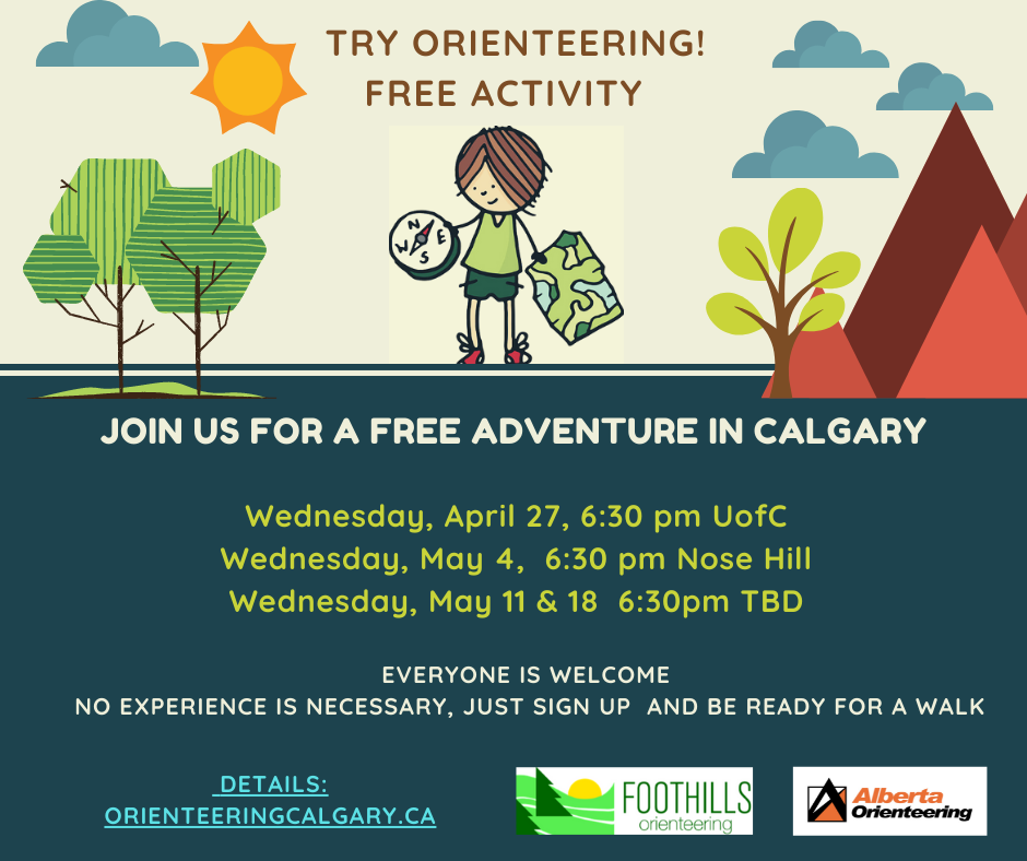
People orienteering for the first time are encouraged to register for the Try-It event below which will be held at the same location at the same time.
First Timers can register for one of our free Try-It Events!
REGISTER for the Try-It Event below! People new to orienteering can sign up for the free Try-It event only:
Try-It Event ONLY Registration
What to expect?
- You will receive brief instructions.
- You can try a couple of learning activities
- You will get a map and head out for a self-lead mapwalk to try a beginner orienteering course. All of this would take around 1 hour.
Why should you try orienteering?
- Engages the mind & body with emphasis on fun
- Builds competence and confidence to be outside, for life.
- Teaches navigation and map reading skills.
- Helps to connect with our natural environment.
- Gets everyone moving outside with a big smile.
People new to orienteering can sign up for the Try-It event only:
Try-It Event ONLY Registration
UofC Event Info
Welcome to (according to the organizer) the best sprint map in Calgary!
Courses
This event will offer three classic urban sprint courses:
- For the Beginner course, expect straightforward routes with large and obvious features to follow through non-challenging terrain. The Beginner course has one on-campus road crossing at a crosswalk.
- For the Intermediate and Advanced courses (similar difficulty, just one shorter and longer option), expect some critical route-choice decisions, a mix of longer and shorter legs, and frequent direction changes. The Intermediate and Advanced courses have several on-campus road or parking lot crossings, not necessarily at crosswalks.
- None of the courses leave the main campus area (i.e. no busy road crossings).
- Remember that passing through building interiors is forbidden!
Location & Parking
- Start/Finish is outside the north entrance to the Olympic Oval just south of Campus Blvd across from Starbucks in Collegiate Hall. The actual event start is beside the Olympic torch/giant red paper clip sculpture thing (or whatever it is). See the map below.
- Closest parking is on campus in Lot 11 or next closest in Lot 10 (both $8 per day, 7 days per week). You can find the UofC parking map here. There is also metered parking available (free on Sundays) just north of campus in Research Park. The closest parking in Research Park is along 33 St NW, just north of 32 Ave NW here. The walk to the start from the street parking takes about 5 minutes.