
Rumsey - RESULTS! Forest Event
April 30th 2023 10:00am - 2:00pm
Organizers: Marion O (Controller), Geoff Marjoram (Course Planner), Teresa (Controller)
Map: Rumsey
Results are available on Winsplits or Livelox using the buttons on this page.
Go to Livelox to view the routes of other participants and replay the race.
If you recorded your run on GPS please upload your track to Livelox or import it from Strava so that the organizers and participants can learn from what routes you chose (even if it wasn't a great route, it is really interesting for us to know).
Thanks to all the organizers, volunteers, and participants! Next Sunday the Edmonton club is hosting an event at J.J. Collett (Morningside) just two hours from downtown Calgary. See our homepage on this site for the calendar link to the event.
Courses (see Course Planner’s Notes below for more details):
- Novice: 2.4 km. 14 controls. Not for complete beginners. Should be able to orient yourself and the map to North. We suggest children be shadowed unless they are quite experienced.
- Intermediate: 4.4 km. 14 controls. You need some understanding of contours.
- Short Advanced: 5.6 km. 14 controls. A shorter version of the Long Advanced course.
- Long Advanced: 7.9 km. 20 controls. The most technically difficult course.
Event Details
- Start: Start any time between 10am and 12 noon.
- Course closing: 2pm
- Maximum time on course: 2 hours (whether or not you complete your course) Organizers will start collecting controls at 2pm.
- SI timing: will be used for all courses. SI fingersticks (including a limited number of SI-Air fingersticks) will be available to borrow at check-in.
- Distance from Parking to Start: 850 m along a dirt track
- Check-in: located adjacent to Start
- Whistles: are mandatory
- What to bring: water, snacks (no refreshments will be provided), your own water bottle (no water will be provided on any courses), SI stick (or borrow at event), whistle, compass
- Legend: there is no legend on the map. A legend will be posted near the check-in/start area.
- Map scale: 1:7,500 for Novice course; 1:10,000 for all other courses.
- Contour interval 5 m
Driving directions:
Please consider Carpooling as parking is limited, and to limit vehicle traffic on the cattle farm.
From Calgary (2 hours one way): North on Hwy 2, east on Hwy 27, north on Hwy 21 to Trochu, east on Hwy 585 through Trochu and Tolman Bridge, north on Hwy 56 for 10.8 km. Turn right (east) on Township Rd 34-4 (Orienteering sign at this intersection). Drive 3 km on this gravel road to the white farmhouse. Turn right here, follow orienteering signs & flags along a dirt track for about 1 km, to the parking area on the orienteering map. Avoid the cattle; note that calves can unpredictably jump in front of a moving car!
From Edmonton (2 hours 45 min one way): South on Hwy 2, east on Hwy 42, south on Hwy 21 to Trochu, east on Hwy 585 through Trochu and Tolman Bridge, north on Hwy 56 for 11 km. Turn right (east) on Township Rd 344 (Orienteering sign at this intersection). Drive 3 km on this gravel road to the white farmhouse. Turn right here, follow orienteering signs & flags along a dirt track for about 1 km, to the parking area on the orienteering map. Avoid the cattle; note that calves can unpredictably jump in front of a moving car!
Course Planners’ Notes:
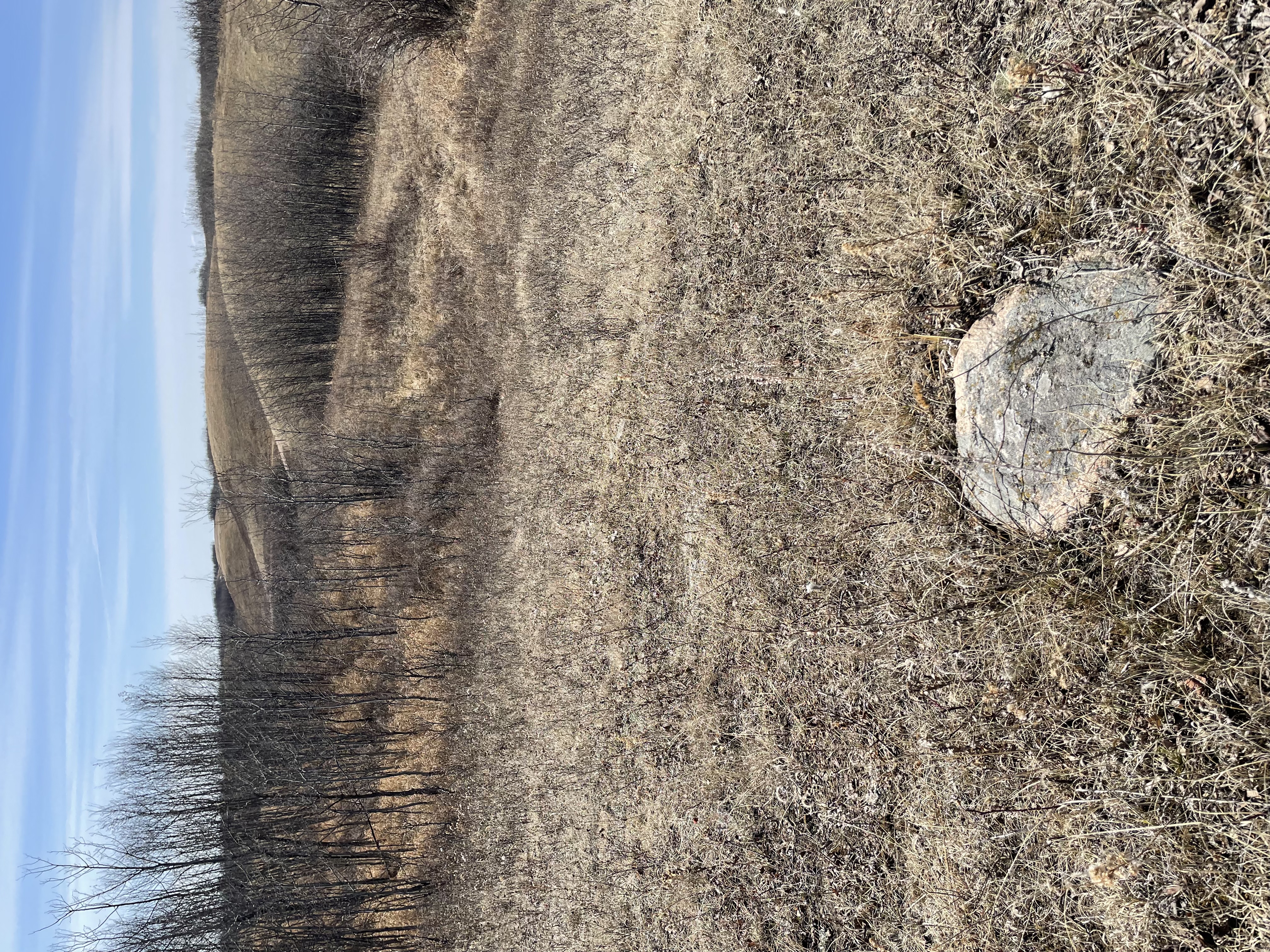
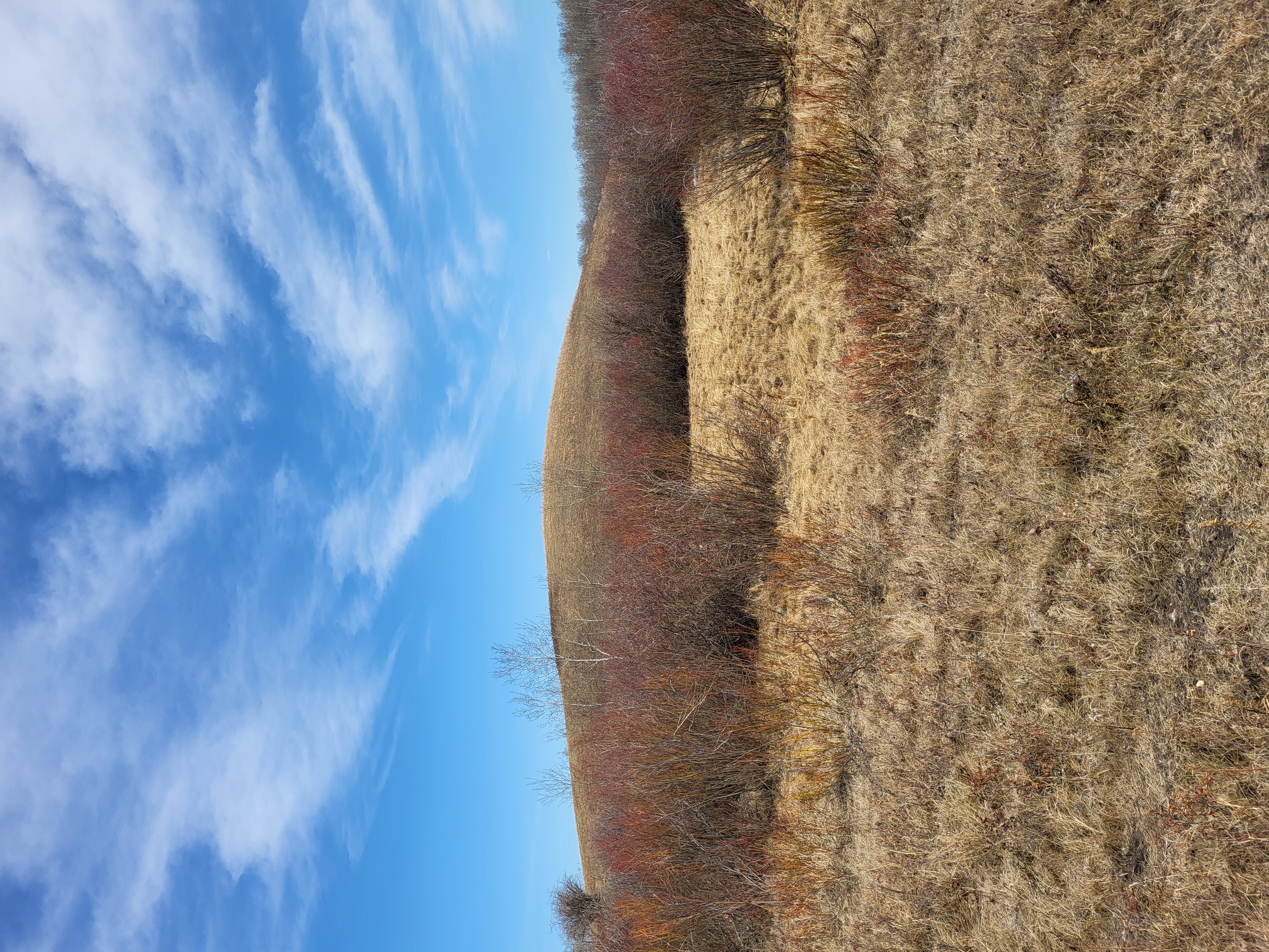
This event is held in the Rumsey Natural Area, a unique terrain with lots of little hills, marshes and varied patches of vegetation. Navigation is considerably more complex than city parks, so you need to concentrate on map reading to prevent getting lost. There are fences on the east, north and west edges of the area, but not on the south edge. There’s one additional fence through the middle of the event area; do not climb over the fence - roll under it. There are numerous cattle trails, both distinct and indistinct, which have evolved over time. Some are mapped and some are not. Therefore, you must concentrate on the other types of features while navigating. You can trust the contours and most of the vegetation. The only water features are marshes, which could be wet or dry depending on the weather before the event.
The Novice course mostly follows natural linear features such as a vegetation boundary or a line of hills. Several controls are on the top of a hill, and should be visible from the previous control. It is unusual for this course level to have no man-made linear features to follow. If you want basic instructions about contour interpretation, please ask at check-in and someone will give you a brief contour “lesson” before you start your course.
All other courses have a variety of control features, and lots of changes of direction from one leg to the next. The distance between north lines on the map is 250m.
On our site visit on April 16, 99% of the snow was gone, and marshes we mostly dry. The terrain is very runnable! The biggest discrepancies between the map and the land that we saw were:
- There are numerous small pathways that exist that are not marked on the map. These come and go depending on where the cows feel like walking.
- Some of the areas shown in green may be easier to travel through than is typically represented by green on an orienteering map.
- Some areas of vegetation have pathways / corridors through them that may not be marked on the map.
Access to our event is through an active cattle farm. Please respect the farm and the Natural Area – do not climb over fences (roll under them) and take all your garbage home with you. The club’s home-made outhouse will be just west of the parking area.