
RESULTS - Spring Opener @ Rumsey B Event
April 27th 2025 10:00am - 2:00pm
Organizers: Nicki Rehn (Course Planner), Teresa (Controller), Oleg Tabelev (Assistant)
Map: Rumsey
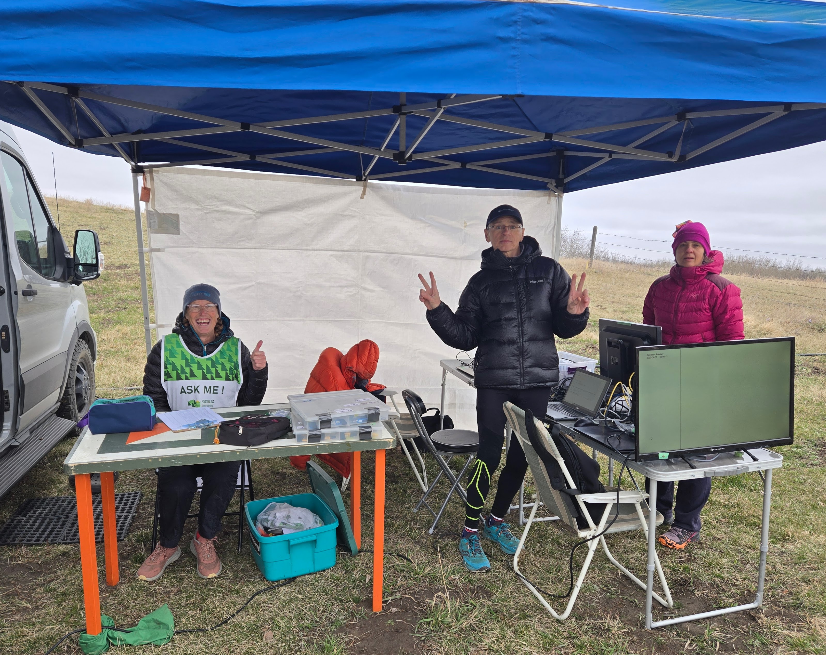
Thank you to the organizers: Nicki and Teresa! And to Oleg and Elena for bringing the finish set up to try out for the WCOCs!
See the results links for split times and livelox GPS replays. More splits are on Attackpoint (here you can compare with runners on all courses that did a certain leg)
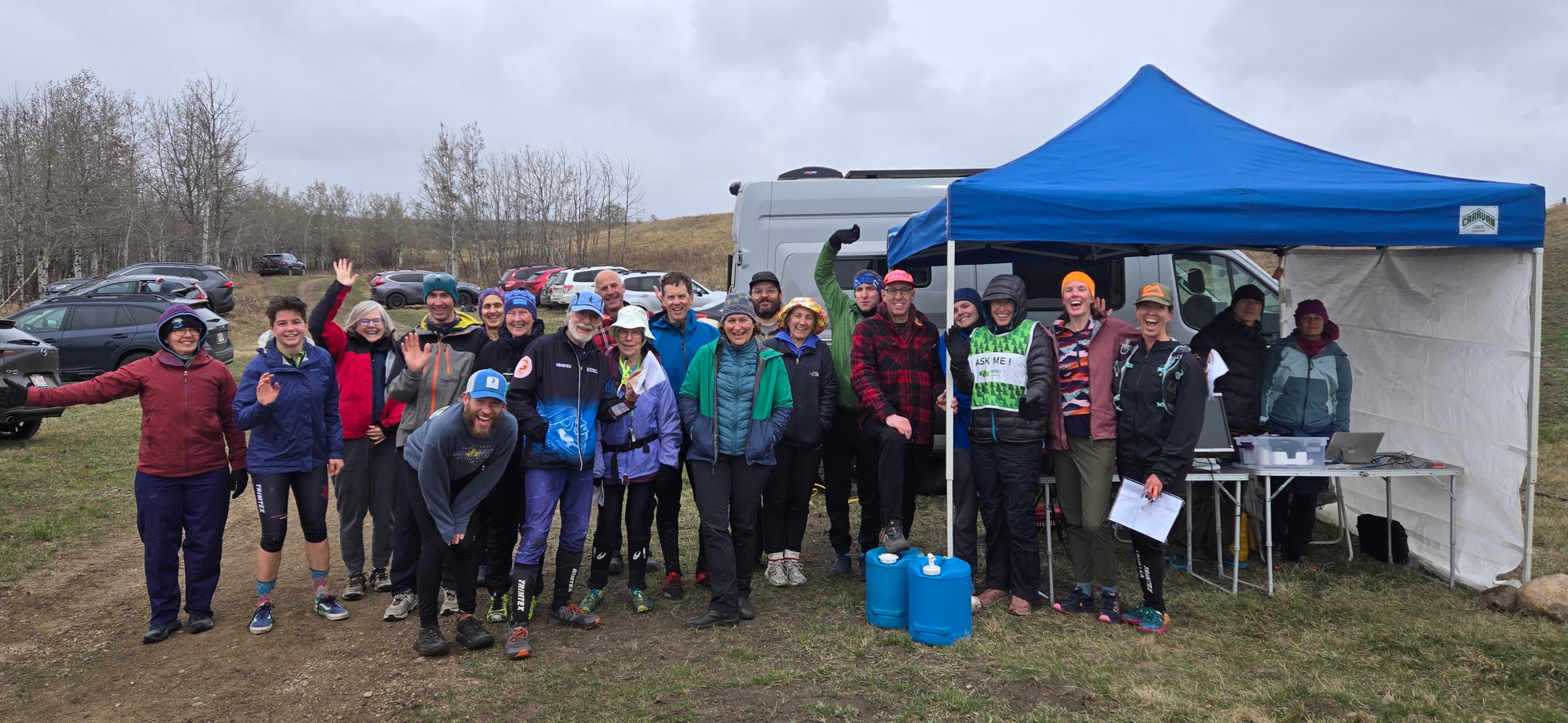
Join us for the first event of the regular season on the grasslands and rolling hills of Rumsey!
Driving directions:
Please consider carpooling as parking is limited and to limit vehicle traffic on the cattle farm.
From Calgary (2 hours one way): North on Hwy 2, east on Hwy 27, north on Hwy 21 to Trochu, east on Hwy 585 through Trochu and Tolman Bridge, north on Hwy 56 for 10.8 km. Turn right (east) on Township Rd 34-4 (Orienteering sign at this intersection). Drive 3 km on this gravel road to the white farmhouse. Turn right here, follow orienteering signs & flags along a dirt track for about 1 km, to the parking area on the orienteering map. Avoid the cattle; note that calves can unpredictably jump in front of a moving car! Please drive slowly as the cows are out.
From Edmonton (2 hours 45 min one way): South on Hwy 2, east on Hwy 42, south on Hwy 21 to Trochu, east on Hwy 585 through Trochu and Tolman Bridge, north on Hwy 56 for 11 km. Turn right (east) on Township Rd 344 (Orienteering sign at this intersection). Drive 3 km on this gravel road to the white farmhouse. Turn right here, follow orienteering signs & flags along a dirt track for about 1 km, to the parking area on the orienteering map. Avoid the cattle; note that calves can unpredictably jump in front of a moving car! Please drive slowly as the cows are out.
Event Details
- Start: Start any time between 10am and 12 noon.
- Course closing: 2pm
- Maximum time on course: 2 hours (whether or not you complete your course) Organizers will start collecting controls at 2pm.
- SI timing: will be used for all courses. SI fingersticks (including a limited number of SI-Air fingersticks) will be available to borrow at check-in.
- Distance from Parking to Start: 10m
- Check-in: located adjacent to Start
- Whistles are mandatory
- What to bring: water, snacks (no refreshments will be provided), your own water bottle water (no water will be provided on courses), SI stick (or borrow at event), whistle, compass
- Legend: there is no legend on the map. A legend will be posted near the check-in/start area.
- Map scale: 1:10,000
- Contour interval 5 m
- Make sure you carry water with you on the course, especially for those on the long advanced.
- The terrain is drying out fast, but you can expect to get your shoes wet in a few places (some marshes and low lying areas are still soggy).
Course Details
- Novice - TD2: 2 km (14 controls). Not suitable for complete beginners. You should be able to orient yourself and the map to North. We suggest children be shadowed unless they are quite experienced.
- Intermediate - TD3: 3 km (12 controls). You need some understanding of contours.
- Short Advanced - TD5: 5 km (11 controls). A shorter version of the Long Advanced course.
- Long Advanced - TD5: 7.7 km (15 controls). The most technically difficult course.
We are dedicating today’s event to the memory of Adrian Zissos (1958-2018).
Adrian loved the Rumsey terrain and organized many events at Rumsey over the years. As a long-standing member of FWOC, he brought boundless energy, creativity, and “big idea” thinking to the sport—qualities that are hard to replace. We miss him—especially his infectious smile. If you knew Adrian, we invite you to think of him today as you navigate this special landscape he loved so much. And if you didn’t know him, but you find yourself smiling as you orienteer today—know that Adrian would be smiling too.