
UofC - Results & Maps! Wednesday Evening series
May 3rd 2017 6:30pm - 8:00pm
Results
Course Maps
1) Novice Short


2) Novice+ Medium
3) Intermediate Medium
4) Expert Long
Organizers: David Roberts (Event Director), Bob MacDonald (Assistant)
Come and out and enjoy fantastic urban orienteering at the University of Calgary!
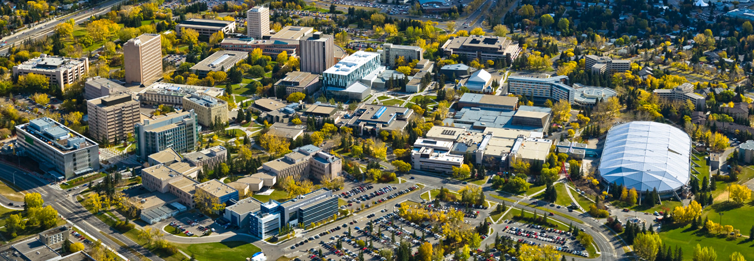
The UofC is one of the best sprint orienteering maps in Calgary, featuring excellent running on fast, flat, and open terrain and (especially for Intermediate and Expert courses) offering challenging navigation around boggling buildings, convoluted courtyards, and a plethora of pathways. This is urban orienteering at its best!
Navigation 101 participants: this is a great first event to try!
SOGO Level 3: I expect to see you all out here putting all that coaching to good use. :)
Location:
REGISTRATION and the START/FINISH will be located in the grassy area at the north end of the Olympic Oval building (the north end of the building, NOT at the north entrance to the building). The point on the Google Map below is at the start/finish.
Parking:
There is a small and expensive hourly parking lot (Lot 9) right at the north end of the Oval, but I would suggest that you rather park in University Lot 10 or 11, the large lots north of the Oval, between 32 Ave. NW and Collegiate Rd. NW. If you are carpooling (3 or more people), Lot 11 is a $5 flat rate or, if you're by yourself, Lot 10 is $7 flat rate. You can find the UofC parking map here: http://ucmaps.ucalgary.ca/PublicFiles/CurrentMaps/...
Volunteers:
WE ARE STILL LOOKING FOR A FEW VOLUNTEERS FOR THIS EVENT. If you can help us out with registration, timing, or control pickup, please add your name to the volunteer sign-up here: https://www.volunteersignup.org/7WD8J.